Boston T Accessibility
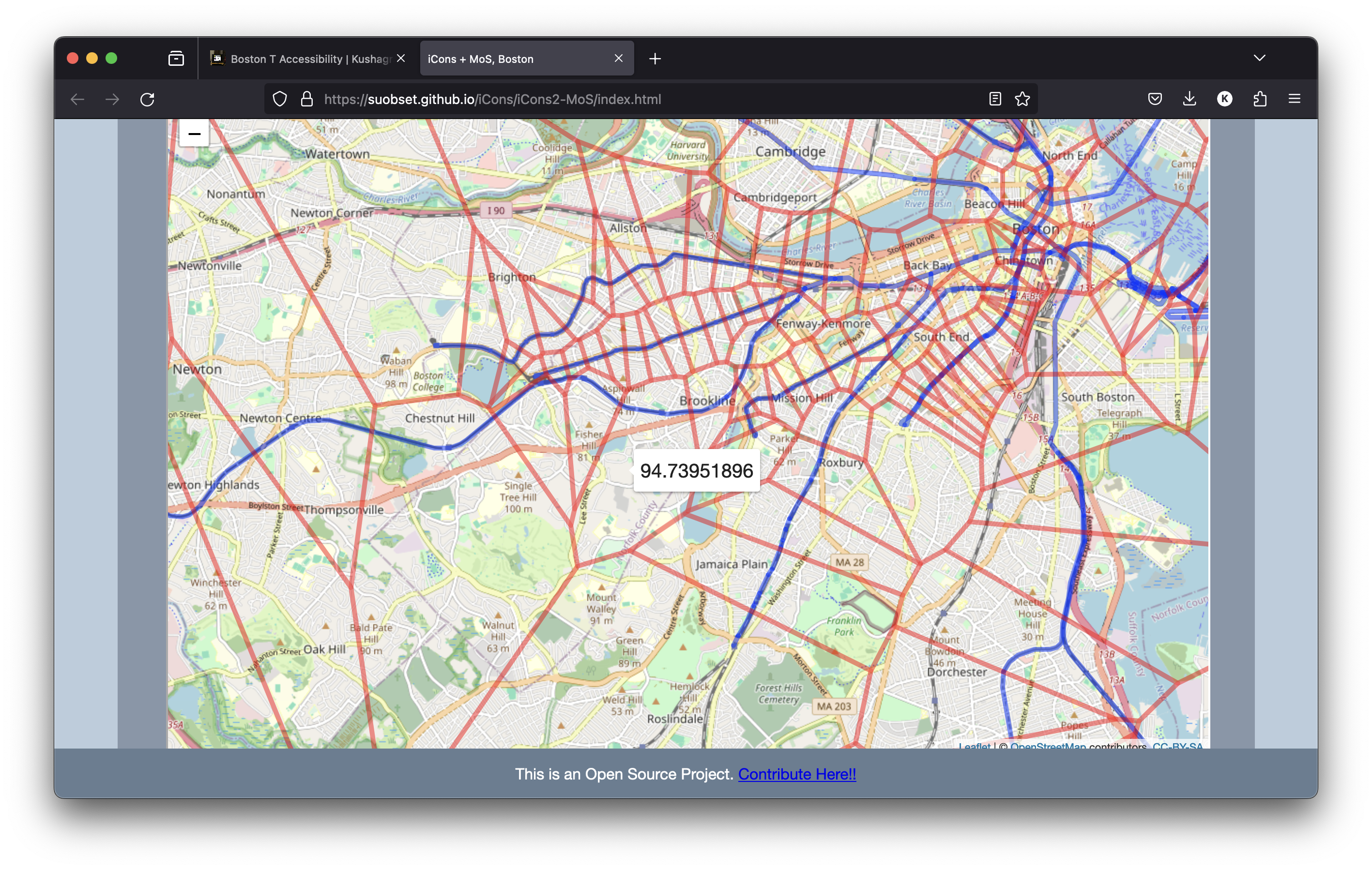
UMass iCons 2 + Museum of Science, Boston
A group project to map the Boston T and judge it's accessibility. The project uses two repositories:
suobset/iCons2-MoSfor R data, GIS data, manipulation, creation, and literally almost everything- "iCons2-MoS" subfolder of this current parent repository, only to export
suobset/iCons2-MoSas a webpage and host it on GitHub Pages. Alternatively, Click Here. - Featured in UMass Amherst News
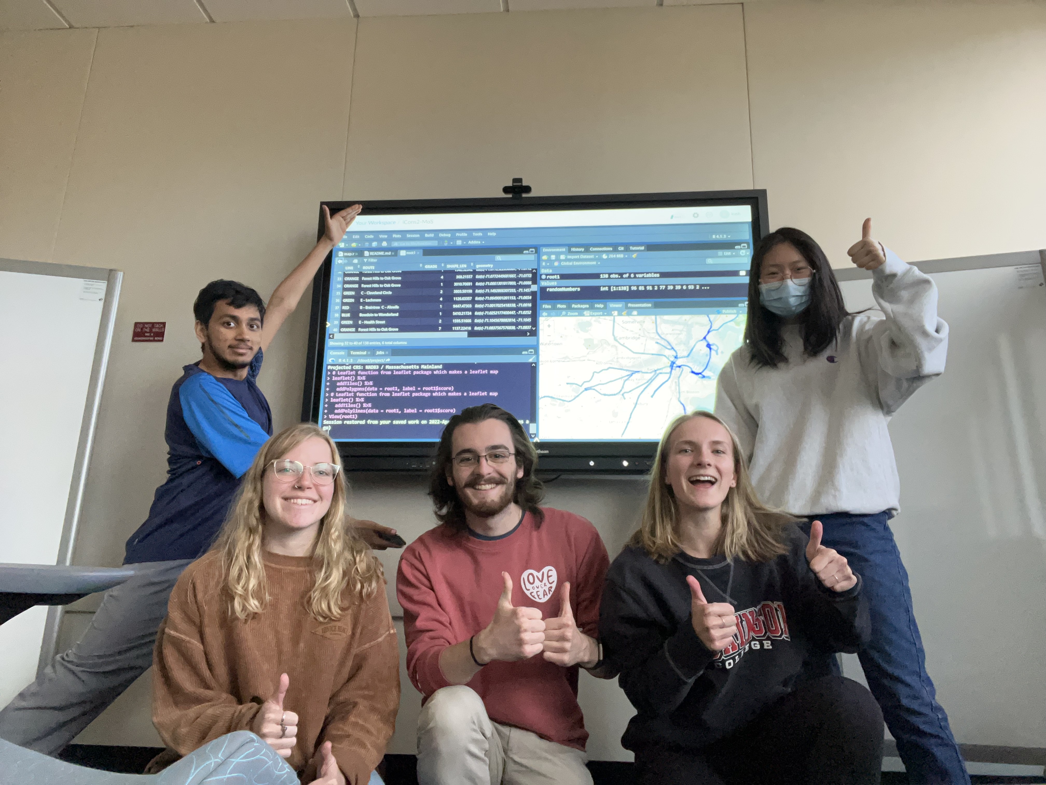
L to R: Kush Srivastava, Gabby Walczak, Jack Minella, Cleo Hein, Yi Ding
